Stumpy Point–Rodanthe emergency ferry: 10 sailings each way, 3 boats, 2 hours a crossing
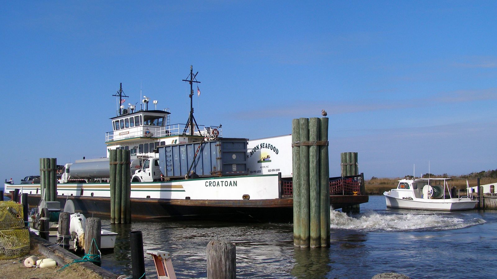
N.C. 12 has been shut between the Marc Basnight Bridge and Rodanthe since Tuesday evening, Oct. 20, and the only public way on or off northern Hatteras Island is now a boat across Pamlico Sound. NCDOT's Ferry Division runs three vessels around the clock between Stumpy Point on the mainland and Rodanthe, roughly two hours each way. Below is the timetable NCDOT published for the route, how boarding works in each direction, how much the boats can carry, and the state of the other ferries on the sound. NCDOT has given no date for reopening the highway.
Stumpy Point–Rodanthe emergency ferry timetable
This is the schedule NCDOT set from Friday, Oct. 23, "for its remaining operation". The first day, Thursday, started at 5 a.m. and had no 2 a.m. sailings.
| Leaves | Rodanthe → Stumpy Point | Stumpy Point → Rodanthe |
|---|---|---|
| Night | 2:00 a.m. (also the fuel and propane sailing) | 2:00 a.m. |
| Early morning | 5:00 a.m. | 5:00 a.m. · 6:30 a.m. |
| Morning | 8:00 a.m. · 9:30 a.m. · 11:00 a.m. | 8:00 a.m. · 11:00 a.m. |
| Midday | 2:00 p.m. · 3:30 p.m. | 12:30 p.m. · 2:00 p.m. |
| Evening | 5:00 p.m. · 8:00 p.m. | 5:00 p.m. (also the fuel and propane sailing) · 8:00 p.m. |
| Late | 11:00 p.m. | 11:00 p.m. |
If you are walking on through Dare County's park-and-ride, the county vans run Monday to Friday from 4:30 a.m. to 8:30 p.m., so the 2 a.m. sailings and the late-evening ones are for drivers only.
Who gets on, in which direction
The two directions follow different rules, because Hatteras Island is under a state of emergency with a mandatory evacuation for visitors.
How much the route can move, and what it has moved
The lines at both terminals come down to arithmetic: ten sailings a day each way and a few dozen cars per boat.
Depending on the mix aboard, each emergency ferry takes roughly 25 to 30 standard passenger vehicles per trip, and NCDOT has estimated the route at about 250 vehicles a day from Rodanthe to Stumpy Point. Our own check agrees: ten departures a day at 25 to 30 cars each is 250 to 300 vehicles per direction, before any delivery truck, fuel tanker or utility rig takes the space of several cars.
NCDOT's running count shows how fast the route filled up. On Saturday morning, two days in, it had carried nearly 1,200 passengers and 755 vehicles. By Sunday morning the figures were close to 1,800 people and 1,100 vehicles, and at the end of Sunday, Oct. 25, they stood at 2,416 passengers and 1,451 vehicles. That is already more than the whole September activation, which ran for four days.
| Activation | Dates | Passengers | Vehicles |
|---|---|---|---|
| September nor'easter | Sept. 27-30, 67 departures | 1,901 | 998 |
| October storm, so far | From Oct. 22, 5 a.m., to the end of Oct. 25 | 2,416 | 1,451 |
Before September, NCDOT had not stood up the Stumpy Point–Rodanthe route since 2013. Residents have reported waits of several hours at both terminals since Friday.
Why the road is shut, and how NCDOT plans to reopen it
The ferry runs for as long as N.C. 12 stays closed on Pea Island.
In September the same stretch failed and NCDOT followed the same sequence: the road closed on Sept. 24 with about 1,000 feet of pavement broken, the ferry ran from Sept. 27 to 30, a one-lane gravel detour opened on Sept. 29 and two-lane traffic returned on Saturday, Oct. 3. This time the damage is longer and the work has not yet reached the detour stage, so there is no basis for a reopening date yet. N.C. 12 itself remains open south of Rodanthe and on Ocracoke.
The other NCDOT ferries on the sound
Status as NCDOT and local reports gave it over the weekend. Check each route before you travel.
| Route | Latest status | Note |
|---|---|---|
| Hatteras–Ocracoke | Reduced schedule (Sat., Oct. 24) | From Oct. 22: seven trips each way, from Hatteras at 6 and 9 a.m., noon, 3, 6 and 9 p.m. and midnight |
| Cedar Island–Ocracoke | Normal schedule (Sat., Oct. 24) | Reservations recommended, 1-800-BY-FERRY. Hatteras entry rules still apply if you drive on north |
| Swan Quarter–Ocracoke | Normal schedule (Sat., Oct. 24) | Same as Cedar Island |
| Currituck–Knotts Island | Suspended (Thu., Oct. 22) | Storm impacts; no later update seen |
| Cherry Branch–Minnesott Beach | Normal schedule (Thu., Oct. 22) | |
| Bayview–Aurora | Normal schedule (Thu., Oct. 22) | |
| Southport–Fort Fisher | Normal schedule (Thu., Oct. 22) |
Sources
- NCDOT: NCDOT Emergency Ferry Service Activated Again as Storm Damage Closes N.C. 12 (timetable, terminals, boarding rules, fuel sailings, other routes).
- NCDOT: final ridership of the September emergency route, Oct. 12, 2026.
- Island Free Press: Saturday update (vehicles per boat, NCDOT's 250-a-day estimate) and Monday's NCDOT repair plan, both quoting NCDOT.
- Dare County Emergency Management: Bulletin #10 (Oct. 25) on the park-and-ride and reentry rules, at DareNC.gov/Storm and DareNC.gov/Reentry.
By The us.ferje.info newsroom — We keep the route pages for U.S. car and passenger ferries, from the San Juan Islands to the Outer Banks, and track the schedule changes, suspensions and emergency routes that decide whether you actually get across.